Northern Africa is a land rich in natural resources, where forests provide a wide range of products to its people, such as wood, food and animal fodder. What is more, agriculture continues to be an economic pillar for a large part of the population in the area. The threats to these activities show the need for tools to improve agroforestry resource management. Deforestation and the lack of water affecting the agricultural sector demonstrate the importance of sustainable management that helps to ensure the continuity of agricultural and forestry activities, and above all, life.
To deal with this issue, agroforestry Geomatics can provide a great deal. Geomatics covers an array of geospatial technologies including equipment, data analysis computer programs and spatial representation. Remote sensing, Geographic Information Systems (GIS) and Global Positioning Systems (GPS) are notable areas of Geomatics, in which big data and supercomputing are also starting to grow, above all, in the analysis of global processes such as climate change.
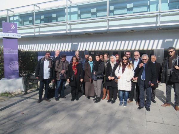
With the intention of fostering higher education in the field of agroforestry Geomatics in Northern Africa in order to improve forest and agricultural resource management, the European project called GEOMAG – Development of skills in Geomatics applied to agriculture and the environment in Tunisia is seeking to design a virtual educational platform specializing in agroforestry Geomatics in Tunisia. In this vein, this project, on which the ERSAF (Assessment and Restoration of Agricultural and Forest Systems) research group at the University of Cordoba is working, aims to be a meeting point for educational experiences in European countries (France, Spain and Romania) with several Tunisian universities in order to spread the use of geomatic tools on a regional scale. Working with 17 partners in these four countries will result in specialized training processes in agroforestry Geomatics, the creation of academic modules related to environmental and forest resource management and the creation of a Master’s in Applied Geomatics for agroforestry resources to be coordinated by the University of Carthage (Tunisia).
The role of the University of Cordoba in GEOMAG is key in designing the training modules in Remote sensing and the environment, which will be part of the academic platform. Researchers Guillermo Palacios, Cristina Acosta and Consuelo Brígido, led by Professor Rafael María Navarro, will provide their experience in this field by means of designing content, duration and teaching methodology used in the educational modules. Besides, “this team is also responsible for educator assessment in the project as a whole via an external evaluating committee”, points out Rafael Navarro.
Tunisia has to deal with the tremendous challenges of modernizing its agriculture, managing and conserving its key natural resources, such as water, and adapting its forest ecosystems to climate change. To do so, it is necessary for the authorities and those in charge of resource planning to have a large amount of geographical information practically on a daily basis. After being trained on how to use the geomatic tools provided by GEOMAG, it will be possible to generate and analyze updated and precise information about location, amount, spatial distribution and quality of those natural and productive resources.
To get this training up and running means “increasing the number of trained professionals in this matter in Tunisia, as well as improving the already existing training and agricultural and forest resource management in the area”, according to Professor Navarro. Applying Geomatics in the region will have a direct impact on improving environmental and socioeconomic conditions for people living in rural areas who depend on these resources, and will undoubtedly improve their living conditions as well.
The GEOMAG project - "Renforcement des capacitéx en géomatique appliquées à l'agriculture et à l'enviroment au Maghreb" (598217-EPP-1-2018-1-TN-EPPKA2-CBHE-JP) is funded by the European Union through the ERASMUS+ CBHE CALL 2018. Project webpage: http://geomag.uvt.tn/
This article is part of the communication plan designed by the International Project Office to divulge the international projects granted to the University of Cordoba.


